OpenSpace
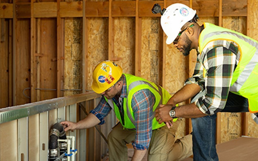
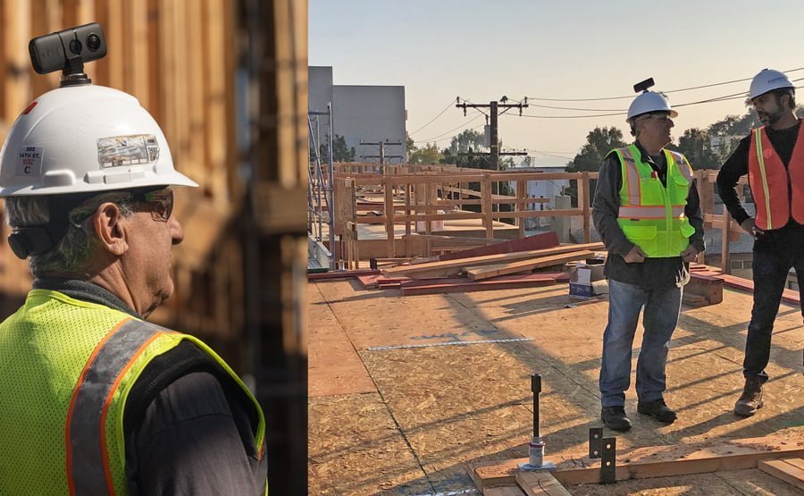
OpenSpace, a construction technology firm based in San Francisco, California, has created the most advanced reality capture technology for construction teams by leveraging computer vision, artificial intelligence (AI), and 3D modelling. The OpenSpace product makes it easy to capture 360° images of a jobsite simply by mounting a camera to a helmet and walking through the jobsite. This process takes a fraction of the time required for capturing a site manually.
What makes OpenSpace’s platform so powerful is that the AI system automatically maps images onto project plans, requiring no manual corrections or location pinning. The captures upload quickly and are available to view remotely—from anywhere in the world—later that same day. The upload process also gets faster over time due to OpenSpace’s inbuilt machine learning capabilities.
OpenSpace also provides cloud-based virtual design and construction tools that allow easy comparisons of actual site conditions to building information modelling, as well as progress tracking across numerous variables.
OpenSpace Chief Executive Officer, Jeevan Kalanithi, told Build Australia that the tech company’s aim was to use computer vision and artificial intelligence to make the lives of builders easier.
Kalanithi said: “We make it really easy to have a full visual record of your project, so you can see it from anywhere at any time. On top of that, we take all that visual data and use AI to classify and quantify everything that the system is seeing.
“And it goes beyond looking around the digital space that you capture, extending to seeing graphs and analytics created automatically because the computer can understand what’s in there and automate a lot of the manual analytics that would take someone a lot of time to do by hand.”
“The solution OpenSpace offers addresses costs associated with risk, variations, and liability issues,
and simply makes them go away”.
The OpenSpace platform is being used on thousands of jobsites around the world, and it is not used only during the build—property owners are also using it to monitor properties post-construction, to help identify maintenance issues and facilitate easier communication with stakeholders.
Kalanithi emphasises that what the software can achieve – allowing people to see their projects without needing to be there – is not a new idea; OpenSpace just made it extremely easy to do, and at scale, very quickly.
“We built the system from the ground up for builders, as we wanted to make sure it solved their problems,” he said.
Earlier this year, the company announced a new progress tracking solution built on top of the core product, called ClearSight Progress Tracking. This product allows teams to have a single, trusted record of progress to verify per cent complete. Teams can now see progress for various trades, including mechanical, electrical, walls and ceilings, and concrete at a glance.
By giving decision makers greater visibility into their jobsite progress, OpenSpace helps them to adjust schedules, verify pay applications, and improve coordination between team members.
Other sectors could also benefit from OpenSpace technology, with energy and mining companies across the globe actively using the software.

OpenSpace, the most advanced reality capture technology for construction teams
Kalanithi added: “The fact we can coordinate a lot more efficiently has saved a lot of scheduling trouble. One of our customers trimmed more than a month off their schedule, with a seven-figure saving because it was a big project, simply because they could coordinate the material being put in place much more quickly than they would have been able to otherwise.
“Moving from static documents with images thrown in, to an immersive virtual landscape with documents pinned into the correct location– I think this will create an easier way to work for a lot of builders.”
The company is not slowing down. They continue to innovate and add more features to their core product. Recently, OpenSpace announced 3D Scans, a new tool that allows customers to use their iPhones (versions 12 and up) or iPad Pro to do a LiDAR scan of a space, and then calculate snap measurements, in order to save time.


 +61 1800 945 147


