


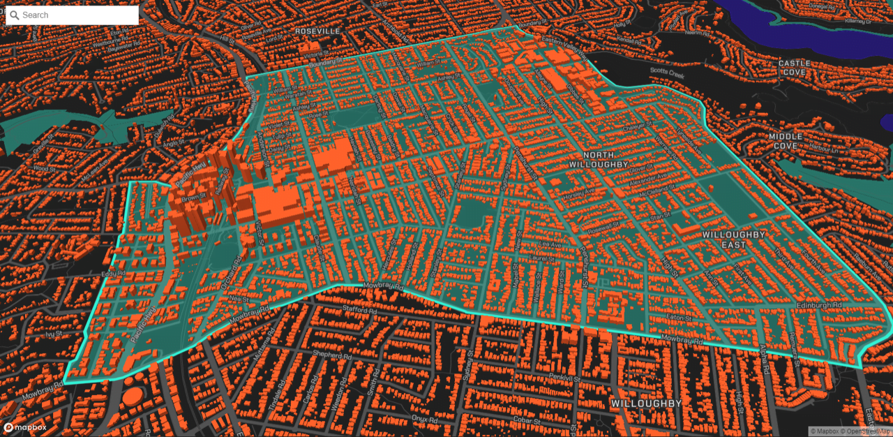
Geoscape has unveiled an Australian-first, on-demand data service to provide engineers and planners with unprecedented self-serve access to high-quality, ready-to-use data on building outlines, heights and addresses for the whole of Australia within minutes.
In an industry where data sources are often fragmented by region and type and users need to combine sources to inform their analysis, this new on-demand service is designed to reduce the cost of sourcing accurate buildings data.
Geoscape Spatial Data on Demand is brought to market by PSMA Australia, creators of the Geocoded National Address File (G-NAF) since 2004.
PSMA Australia CEO, Dan Paull, said the new service was developed in response to industry need for fast access to affordable, reliable, ready-to-use spatial data by an increasingly distributed workforce, wherever their project area.
“We appreciate the challenges professionals, like engineers and urban planners, bear in the arduous process of sourcing data for their modelling and visualisations,” said Mr Paull. “Challenges including reducing the lead time for accessing data, dealing with inconsistent formats, filling gaps in coverage and spending time integrating data with their engineering software.”
“As profit margins tighten, our new self-serve, on-demand, model-ready data on over 15 million buildings nationwide will reduce the cost of sourcing accurate data by up to 90 percent for engineers, and streamline their processes.”
“Significantly, as workforces become increasingly distributed, this new service enables businesses to easily access consistently formatted data for modelling regardless of an employee’s location – whether they’re working in the office, on location or from home,” said Mr Paull. “We expect this to lead to time and cost savings, and reduced need for field trips.”
For businesses like specialised environmental consultancy, SLR Consulting, access to customised data on a subscription basis through Geoscape is already driving efficiency.
“We may need spatial data at any time on any day,” said Peter McGown, Technical Discipline Manager for SLR Consulting’s GIS & Information Services. “We might do three requests a week or one request a month.”
“Geoscape on demand has made accessing spatial data more efficient for us. As the data custodians for our broader APAC business and placed in offices all over Australia, having multiple users with access to consistent national data not only saves time but provides better outcomes across the group.”
Speaking from a user’s perspective, Mr McGown explained, “Before this data was available, we were manually digitising buildings and extracting heights from multiple different sources.”
“Now, through our subscription, we select data on all buildings in a project area – their outlines, heights and addresses, whether for a road or tunnel construction, or modelling operation. It takes out a layer of processing that our staff don’t have to do.”
Another pain point for engineering firms is estimating the cost of sourcing data to respond to project tenders and other business opportunities. Geoscape Spatial Data on Demand offers free, self-service quotes for the specific data and area needed within minutes.
“In the past when we needed to digitise 1000s of buildings, we costed it based on estimated hours,” Mr McGown said. “With Geoscape, it’s a quicker process. We decide what we want in an area – say 100 metres or 3 kilometres, which has x number of buildings – and get an instant idea of the cost for that data.”